Artificial Light Survey of Nighttime Pittsburgh
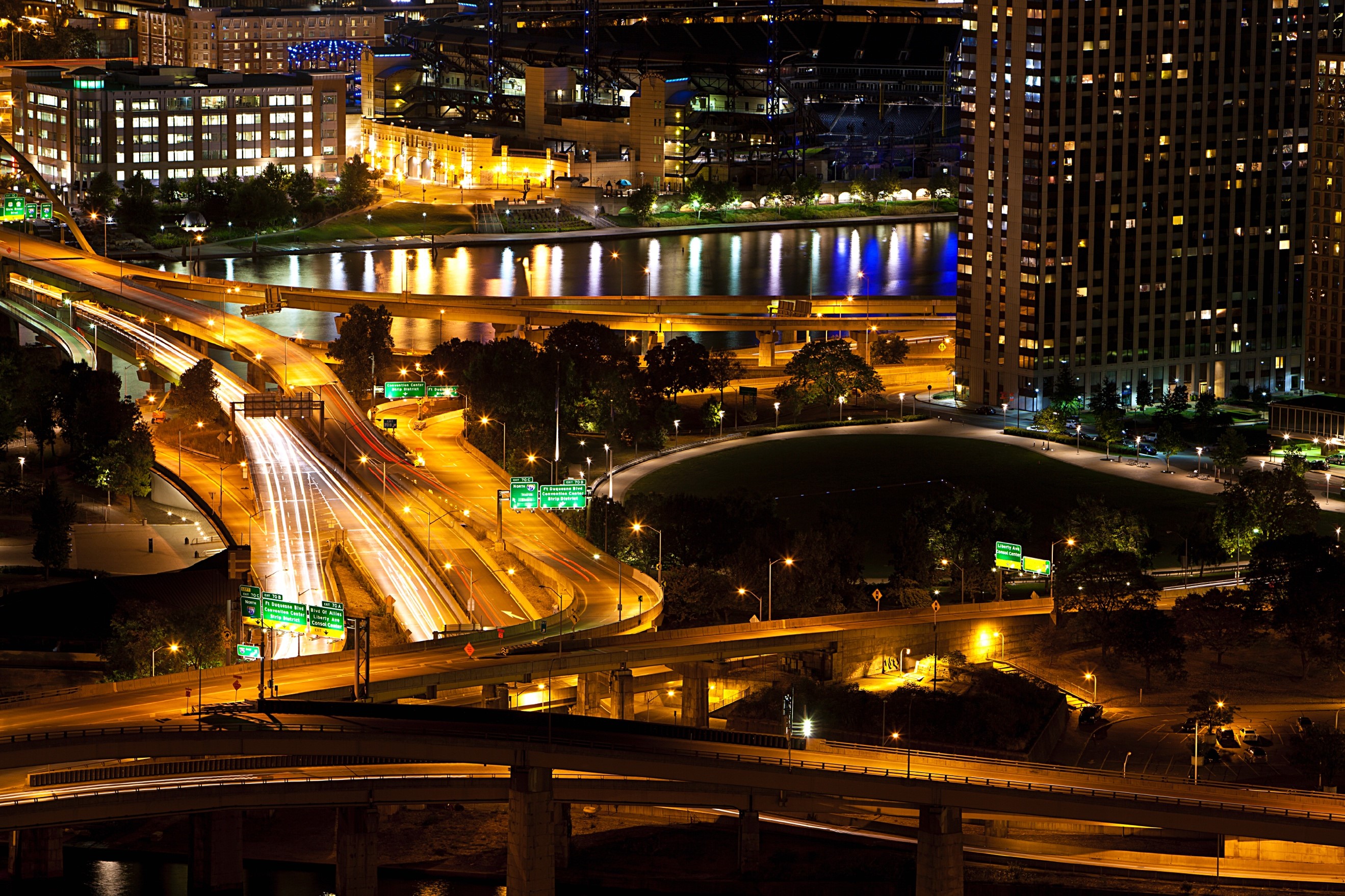
The goal of this project was to improve the quality of life for city residents by undertaking a light survey of the city at resolutions finer than can be done by open satellite surveys. Light pollution, artificial light at night, is responsible for producing an unhealthy environment for plants and animals and impacts human health and safety. It wastes money and, with the introduction of LEDs, is rapidly getting worse. This is a problem facing metro areas around the world.
This project brought together researchers, technologists, policy makers and educators to change the cultural expectations of how bright light needs to beat night to combat light pollution. To study the impact of light at night on the nighttime ecosystem, land use, astronomical research, health and safety, we needed to study skyglow (artificial light directed upwards, spread by Rayleighs scattering) and images and spectra of the lights of the city. Camera and spectrometer enhanced drone flights can do this in a timely fashion. The data was assembled into a high resolution Pittsburgh nighttime map and used for scientific studies of light pollution and its effects and identify the major light polluters in the city and hotspots.
Drones were camera enabled, with attached 500 lines per millimeter diffraction gratings over the camera. Preliminary flights identified different light sources, such as incandescent, LED, high-pressure sodium vapor, and mercury. We were teamed with Michael Lincoln of the drone company Top Shot Aerial for test flights. A light meter riding on top of the drone was able to take skyglow measurements and the drones internal systems gave a view beneath the carriage housing. GPS coordinates were automatically read out and a map was compiled, giving researchers the information they need to make correlations with other data sets, including data for the best astronomical observing sites, animal migration, habitation and predation, birdsong, firefly sightings and nighttime pollination by bats and moths.
Project Update (March 2020)
The team completed four series of test flights with the Mavic 2 Pro drone and two more are scheduled by the end of the year. Each one has produced photographic images that we are using to understand the illuminance (uplight) and luminance (the light that shines on the surface) measurements.
The project garnered a 2019 grant from Science Fiction and Fantasy Writers of America to Parsec Ink for Triangulation: Dark Skies publication; the hosting of international Dark Skies Conference in Pittsburgh; and a partnership City of Pittsburgh and The Amateur Astronomers Association of Pittsburgh (AAAP).
Publications
- Turnshek, Diane and Chloe Nightingale, “Triangulation: Dark Skies,” Parsec Ink, July 2019.
- CMU Tartan articles Christian Scientist Monitor, “Chasing darkness: One reporter's journey into the night” by Eva Botkin-Kowacki.
Project Partners
Top Shot Aerial
http://www.topshotaerials.com/
Project Team
Diane Turnshek
CMU Physics Lecturer and Laboratory Technician
Stephen Quick
Adjunct Professor CMU School of Architecture, Remaking Cities Institute
Project Collaborators
International Dark-Sky Association
http://darksky.org/