Platform Pittsburgh: Deploying Real-Time Multi-Pollutant Sensors (RAMP)
The vision of this project is to test the ability of a distributed network of air pollutant sensors to be used as a decision tool for local policymakers and a source of community information on environmental health. The project tests the following primary hypothesis: Networks of lower-cost air pollutant sensors can be leveraged to inform quantitative, data-driven policy decisions and to track progress with municipal sustainability goals.
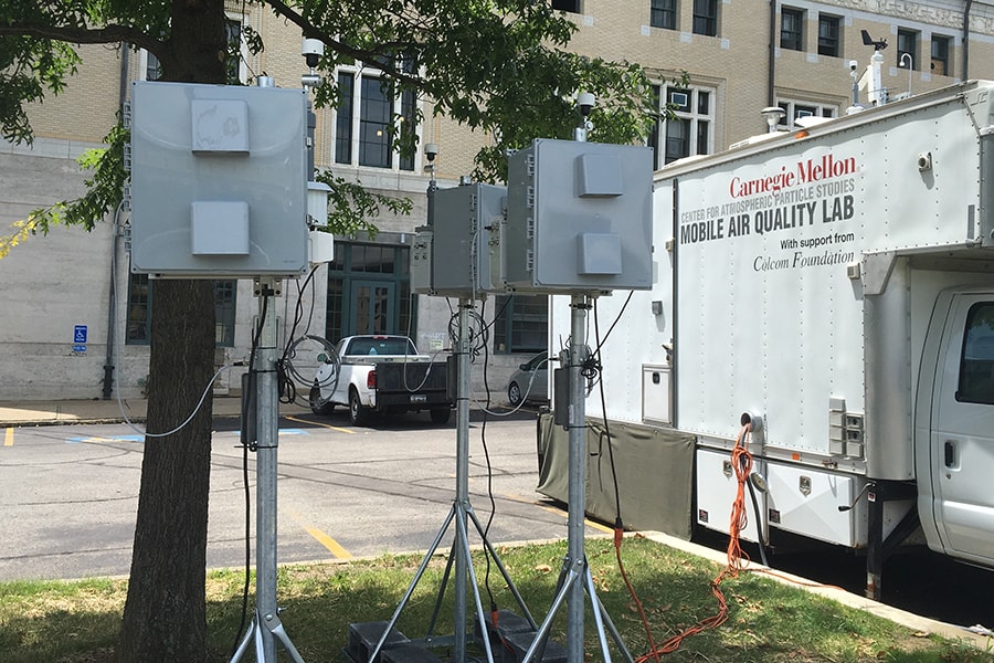
The team leverages a network of low-cost sensors that measure multiple air pollutants (RAMPs). We use RAMP data (2016-present) to quantify changes in vehicle emissions in the City of Pittsburgh, and reductions in air pollution in both Pittsburgh and Millvale. The City’s Climate Action Plan aims to reduce greenhouse gas emissions from motor vehicles and will evaluate progress with surveys. The RAMPs help quantitatively determine whether expected emissions reductions have occurred and will occur into the future.
The RAMP network has been in continuous operation since 2016. The figure below shows the locations of RAMP monitors during August 2017. The color indicates the monthly average CO concentration (in ppb) at each RAMP during that period. Two RAMPs, at Lawrenceville and North Braddock, are highlighted. The RAMPs are clearly able to capture neighborhood-level variations in air quality. This information can be used by community partners to plan interventions that could improve air quality in their communities.
STATUS:
(Updated on April, 2020)
The team conducted a series of analyses on the RAMP data. The RAMP network allowed for the characterization of temporal-spatial variations in air pollutant concentrations and to link those variations to source activity. One observation is that the main source of CO is automobile emissions. There was a clear morning rush hour peak at all 4 RAMPs. The peak appeared at the Rt. 28 before the others, because it is a road used by commuters to reach workplaces (e.g., in Downtown). The Convention Center site had higher CO in the afternoon because of higher traffic volume, the presence of a bus line, and street canyon effects.
One goal of this project was to use RAMP data to quantify changes in driver choice. For example, if more commuters in a specific neighborhood move away from personal vehicles towards public transit, the RAMPs should measure a resulting change in pollutant concentrations. Unfortunately, the team was not able to quantify changes in driver choice. We think this is due to several factors. First, the signal is likely small – the number of drivers who change their habits is expected to be a small number, so any impacts on air pollutant concentrations would also be small, at least in the short term.
Second, this small change in emissions due to driver choice is superimposed on top of a relatively large seasonal change in concentrations. The team uncovered a clear seasonal trend that could potentially swamp any small changes resulting from drivers changing behavior. As data is collected for longer time periods, the team may be able to separate the seasonal signal from any changes due to driver behavior. However, the 2-year dataset we have now seems insufficient for this task.
WEBSITE: http://www.rsubramanian.com/ramp-sensors.html
MEDIA COVERAGE:
Post-Gazette - http://www.post-gazette.com/news/environment/2017/07/03/carnegie-mellon-university-research-air-quality-monitors-pittsburgh-monongahela-valley/stories/201706280149
Allegheny Front: https://www.alleghenyfront.org/cmu-scientists-help-clairton-residents-learn-about-their-air/
Awesome Planet (Season 4, Episode 8) - https://rotfeldproductions.wistia.com/medias/8bc7k0ukz4
FACULTY:
Albert Presto (PI)
Associate Research Professor, Mechanical Engineering, Carnegie Mellon University
apresto@andrew.cmu.edu
R (Subu) Subramanian
Research Scientist, Mechanical Engineering, Carnegie Mellon University
subu@cmu.edu