3D Visualization Project Highlighted by CMU
From the Article:
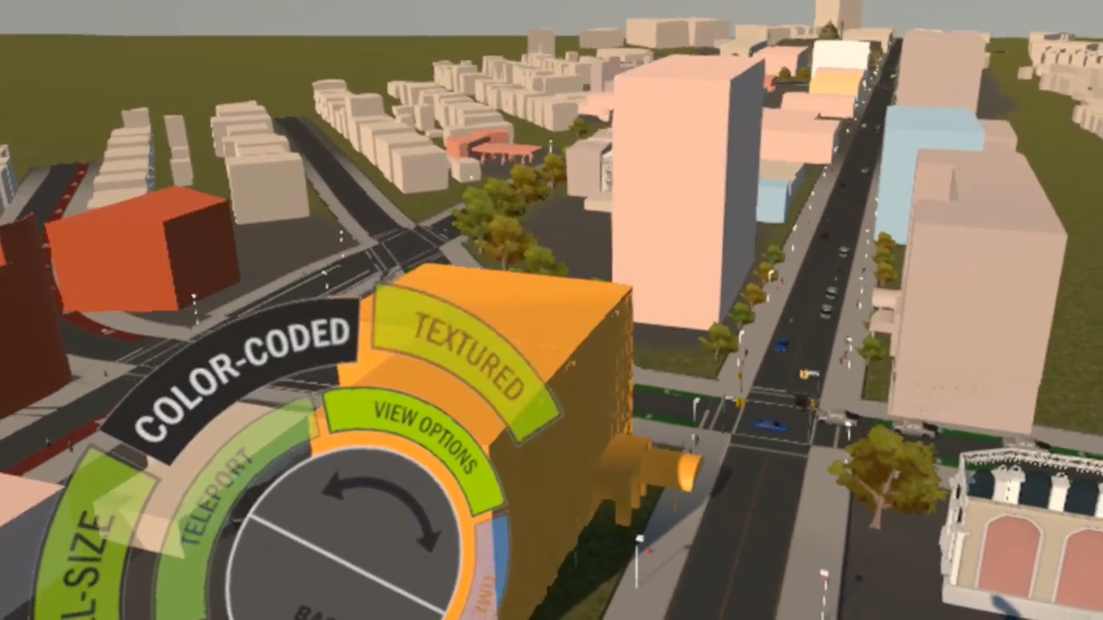
The tool is an example of CMU's interdisciplinary, tech-driven approach to finding solutions to real-world issues.
Ray Gastil, city planning director of the City of Pittsburgh, said the virtual reality tool is a good way to make quick changes to proposed plans and communicate them with the public.
"It lets you go and live in that environment for 10 minutes and explore everything you want to explore. What is it like when it's stormy? What is it like at day or night? It shows you funny little things like the sound of a train," Gastil said.
"This is all about experience. What's it really going to be like to be there if there are 20-story buildings? What if there are residential buildings with restaurants at the bottom?"
For the layperson, a game-like immersion is easier to understand than architectural plans, said Kristen Kurland, teaching professor at CMU's School of Architecture and Heinz College.
"The general public often doesn't understand two-dimensional plans or maps," Kurland said. "You can go to a meeting with drawings or data, but participants might not truly understand their meaning or changes to streets, buildings, or other aspects of the built environment. But by using 3D software, in some cases similar to that used in the movie industry, you can help them visualize changes and tell a story."