Modeling to Predict Landslides
 Landslides in the United States annually claim between 25-50 lives and cause more than $3 billion in damage. Of the hundreds of landslides in Southwestern Pennsylvania in 2018, it is estimated that more than 30 happened in Allegheny County, including in Pittsburgh, causing $18 million in damage.
With that in mind, CEE graduate student Asish Yadav Madala has been working with CEE professor Amit Acharya and Christopher Mertz, Principal Project Scientist at CMU’s Robotics Institute, on research into landslides and the potential for developing software that will enable authorities to detect future landslides.
“It will save lives and it will save a lot of money,” says Madala of the potential for successfully developing such software.
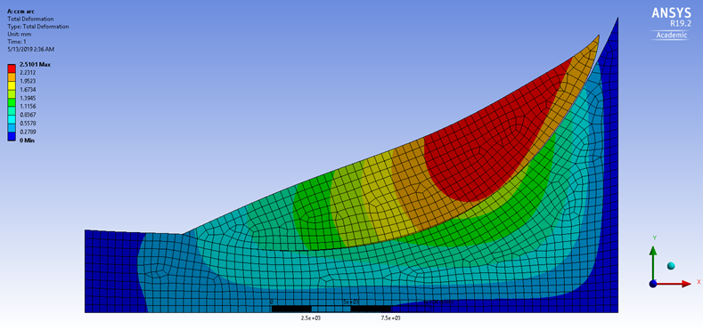
Madala is constructing 3D models of Pittsburgh area landslides to determine the soil crack pattern as well as the shape and size of the land dislocated. He takes hundreds of photos of a landslide to develop a 3D model, which allows researchers to see the entire area after a landslide occurs. These visual images/models are then compared to data and images collected in road monitoring research as part RoadBiotics, a CMU spin-off of which Mertz is a co-founder.
RoadBiotics uses smartphones mounted on vehicles to collect images regularly throughout Allegheny County. From the earlier research, Madala had access to lidar data and GIS-maps that provide soil information. He says officials from Allegheny County and the city of Pittsburgh also contributed data to the project.
Comparing the historic data with the data he collected contemporaneously allows Madala to determine where the fractures occurred that led to the slide, how much soil moved, as well as the shape and trajectory of the soil that slid.
Madala says computer vision and deep learning are used to interpret the data, producing a mathematical model, which will potentially be used to predict if a particular slope is prone to slide.
Madala, who completes his master’s in December, plans to continue working on this project through the Fall, and expects there is another three-to-four years of work yet to be done – more mapping, data collection and research.
“It’s not going to be completed by one Master’s student,” he says.
For Madala, who has been involved in research before, this project has been particularly important. While he has not been personally affected by landslides, he cites the potential for loss. Being part of developing a solution that could save lives and money is meaningful, he says.
“Through research, we can find ways to advance development to improve lives,” he said. “That’s my motivation. I want to create something that will improve the quality of living.”